Blackland scientists are developing new technologies and management strategies to improve water, soil, and other natural resources on agricultural, urban, and military lands in central Texas and around the world. The EPIC (Environmental Policy Integrated Climate), APEX (Agricultural Policy Environment Extender), SWAT (Soil and Water Assessment Tool), and PHYGROW (Phytomass Growth Model) models are deployed world-wide as people seek to: increase agriculture production and water supply; improve the environment and the economic well-being of people; and increase the sustainability of land.

Livestock Early Warning System (LEWS)
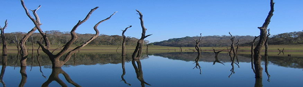
Water Science Laboratory
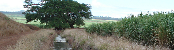
Hawaii BioFuel Feedstock

Integrated Decision Support System

Historical Marker Dedication @ Blackland

Conservation Effects Assessment Program
News
- Dr. Raghavan Srinivasan Named Senior Faculty Fellow – January 2024
- Dr. Jaehak Jeong Named Regents Fellow
- Artificial Intelligence for Accelerating Progress on the Sustainable Development Goals: Addressing Society’s Greatest Challenges – September 2023
- How Can You Use the Oklahoma Hydrologic and Water Quality System? – September 2023
- Browse News Archive
Other Projects
- LIQUID PREP : A Decision Support Tool for Irrigation Management
- Assessment of Soil & Water Quality Impacts of Manure Application Practices - Efficacy of Management Practices in Various Soils/Crops/Climate Regimes
- Fort Cavazos Flood Warning Program
- Integrated Decision Support System
- Maintenance and Restoration of Military Lands
- Military 4-H
- Watershed Protection Plan
- Browse Research Projects